Location Data + AI = Faster Analytics and Better Decisions
We asked Smart Data Hub Co-Founder Karri Pulkkinen how they have solved their customers’ problems and how AI accelerates location data-driven business.

Latest posts


Events

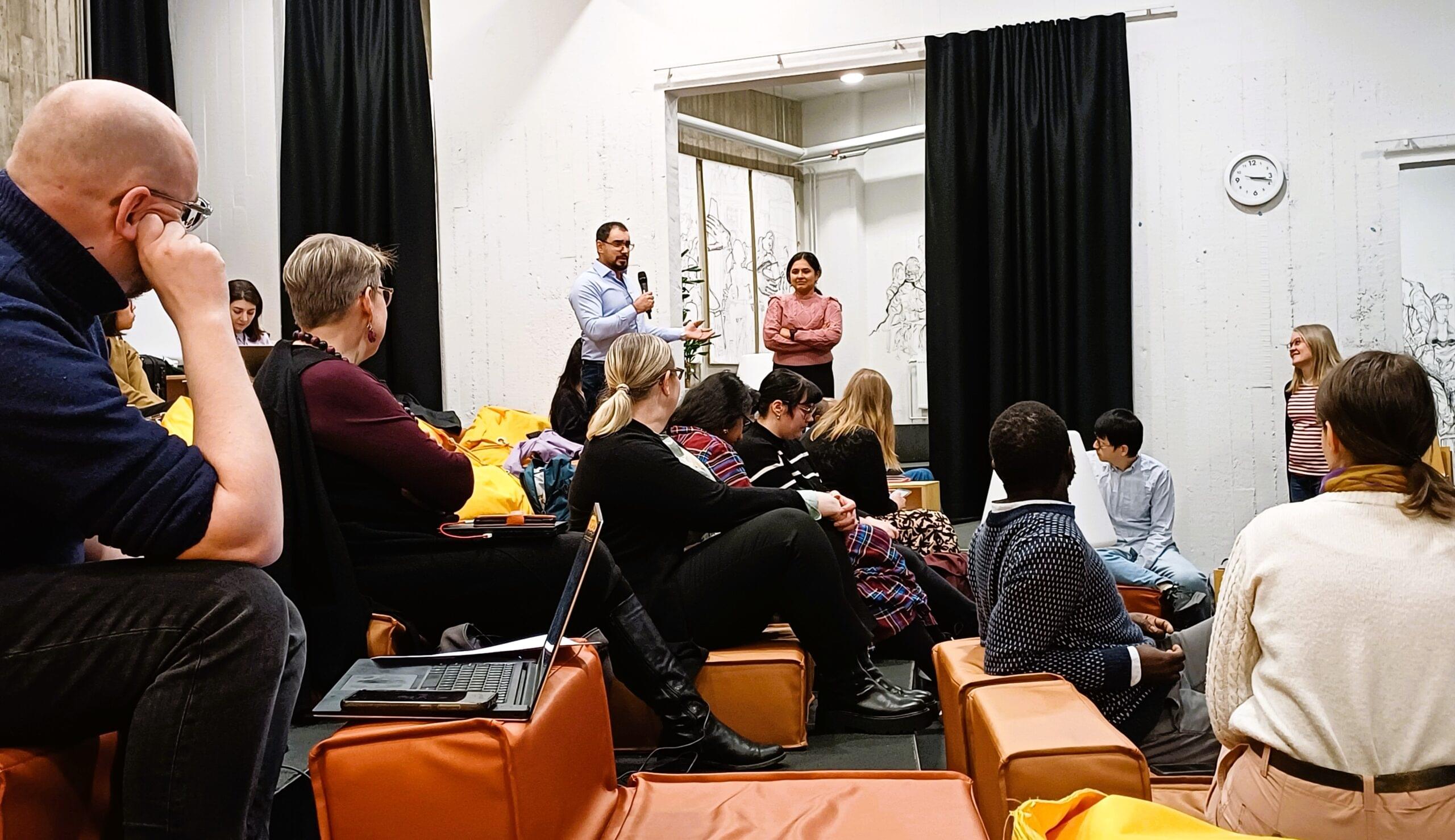
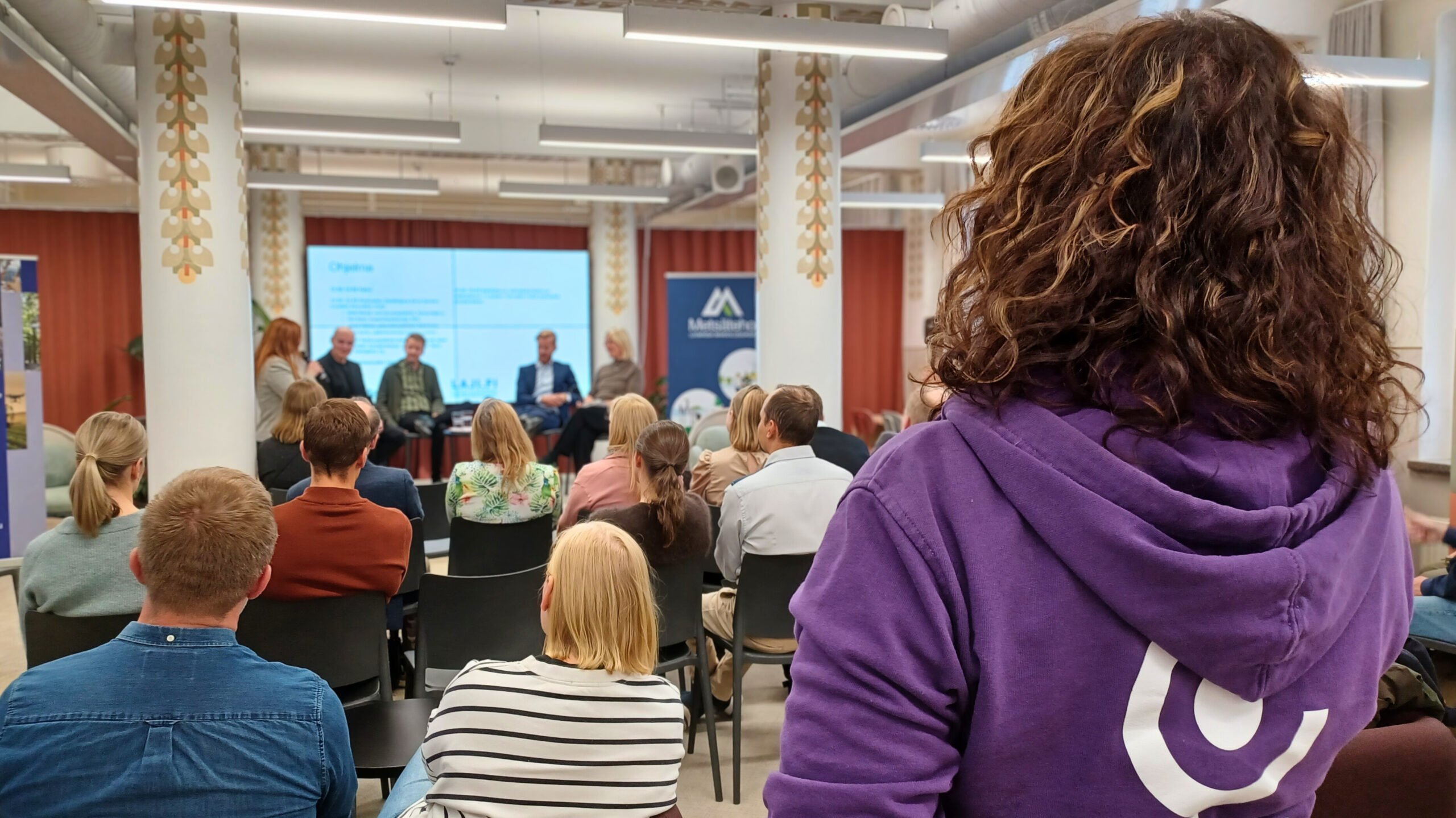
Solutions to air pollution, heat and crises – Geospatial Challenge Camp 2025 concluded
The final event of the Geospatial Challenge Camp was held in early May, bringing together teams to present their innovative solutions to challenges in the well-being and health sector.


Popular posts


Innovations
-
Beyond Dead Wood Hackathon unveils innovative solutions for biodiversity conservation
The Beyond Dead Wood hackathon challenged participants to harness the power of AI, remote sensing and forest ecology to protect Europe’s rare native forests.
-
Four prototypes for addressing health and well-being challenges using location data
The Geospatial Challenge Camp was a 10-week long challenge-based course that aims to provide participants a chance to tackle relevant real-world challenges in cross-disciplinary teams.
-
Ease of getting around the city and meeting people
Bisamsson is a new start-up that has developed a prototype that addresses the challenges of sustainable development by calculating the fastest way for two people to meet by public transport in the Helsinki Region Transport (HSL) area.