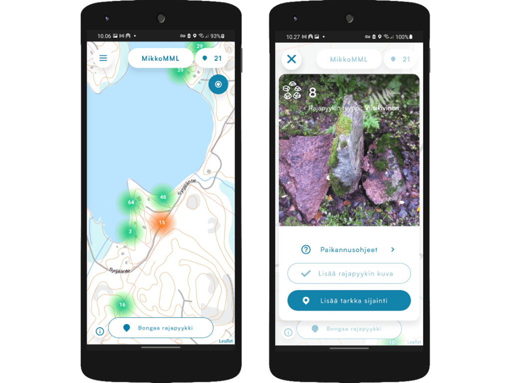
Lessons Learned from Renewing the Topographic Data Production System
In spring 2025, the National Land Survey of Finland deployed a new topographic data production system. The implementation has been described as exceptionally successful — possibly the best in the organisation’s history. The rollout was completed without any production disruptions, which is rare for such large-scale reforms.