
Finland Launches Modern Topographic Data System – Built on Open-Source QGIS
This new open-source based system enables more efficient and up-to-date maintenance of the national topographic data and the production of general map products.

This new open-source based system enables more efficient and up-to-date maintenance of the national topographic data and the production of general map products.
The Geoinformatics Research Days event is the annual gathering for geoinformatics experts in Finland, which has been arranged by the member universities of the Finnish University Network for Geoinformatics (Fiuginet) for over 10 years.…

In this article, the researchers will highlight the findings of the AI4TDB project which aimed to advance the accuracy, automate object collection, and ensure the up-to-dateness of spatial data within the National Land Survey’s Topographic Database.

Methods of Geospatial Artificial Intelligence (GeoAI) have developed rapidly. Concurrently, there is a rising demand for greater accuracy in both data and products. Artificial intelligence methods can help us to…
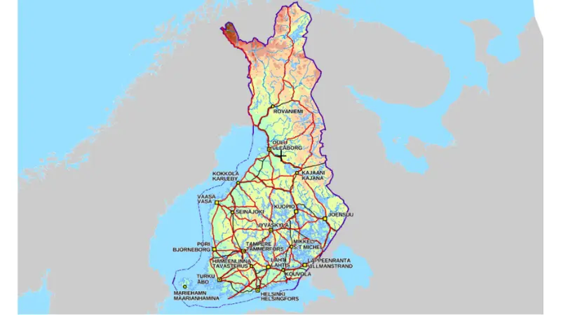
Finland’s geographical centre has been an area of interest before. While some have suspended an analogue cardboard model, some have tried to find the centre using mathematics. Because the calculation…
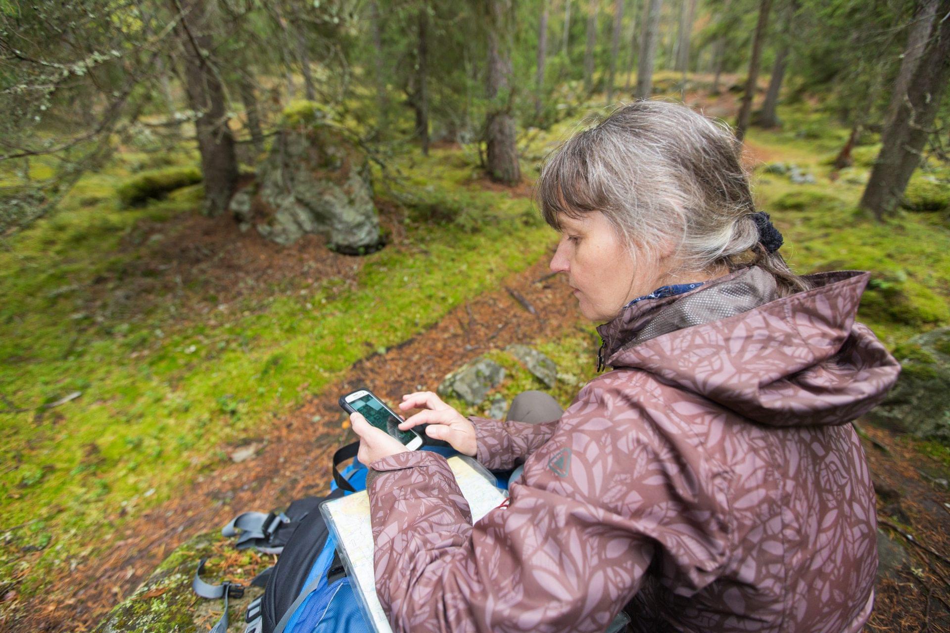
National mapping agencies have long prided themselves on their topographic maps, traditionally printed on paper for use in hiking, exploring, and navigating. However, in recent years, the usage of paper…

As one of the most environmentally friendly modes of travel, cycling plays an important role in designing sustainable urban mobility. In an ideal, cycling-friendly city, the infrastructure should allow cyclists…

The geographic information sector is also in a state of constant transition. Geospatial data and its cartographic representation are at the heart of information-based decision-making. Modern data collection methods and…
Congratulations, you have received heritage! Not just any heritage, but World Heritage. You do not need to pay any inheritance tax or worry about registering the transfer of ownership. Since…

In Finland, several organisations have collected and maintained land use and land cover information for decades now. They have collected information from various sources using different methods, and this information…