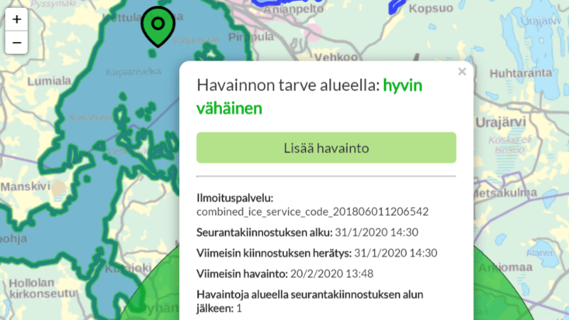
Climate change mitigation calls for interoperable and up-to-date information about land use
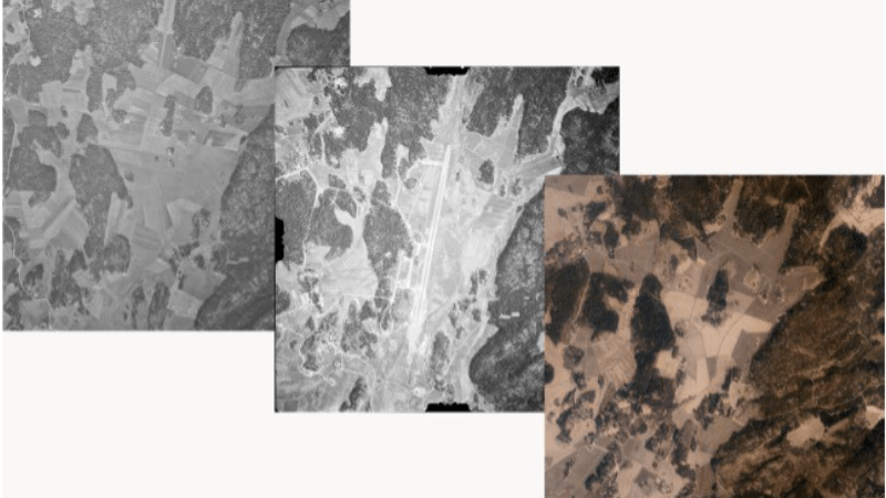
In Finland, several organisations have collected and maintained land use and land cover information for decades now. They have collected information from various sources using different methods, and this information…